Chad here. These are from WVU's Historical Photographs Collection. They were all taken in Pocahontas County, some quite near where we'll be staying at High Rocks.
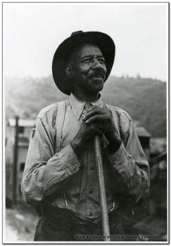
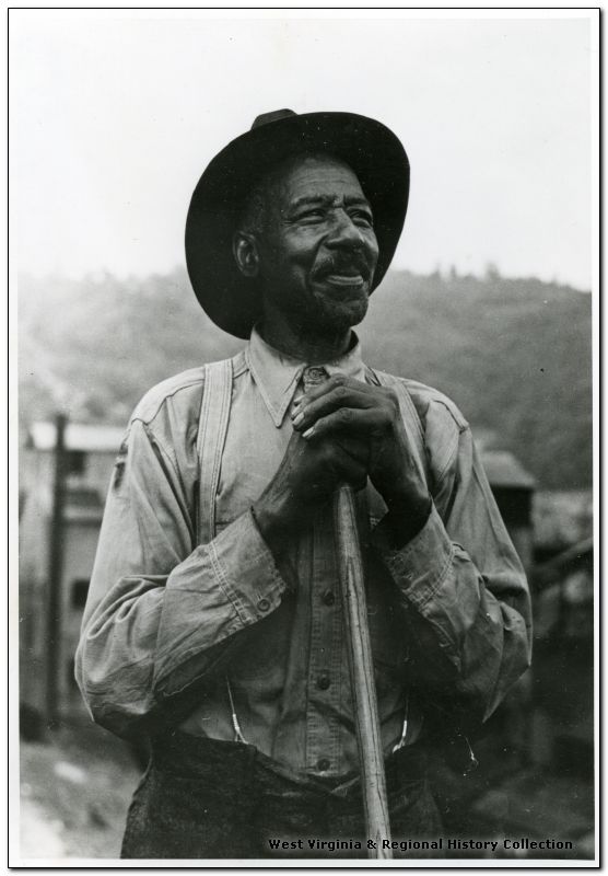
56 Years a Coal Miner
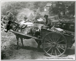
Miner Driving Horse Drawn Coal Cart at Gilliam

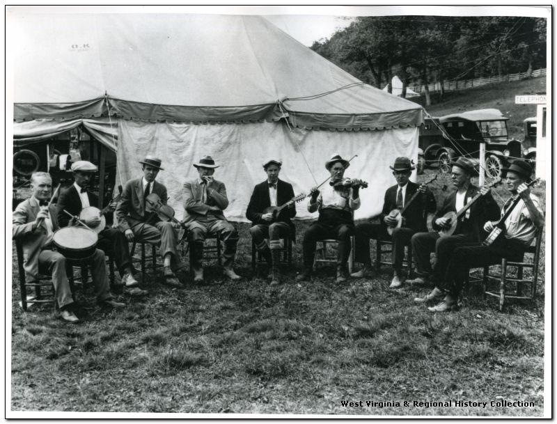
Musicians at the Pocahontas County Fair
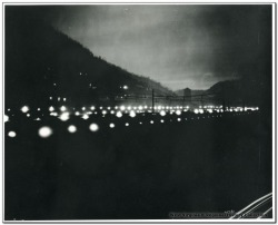
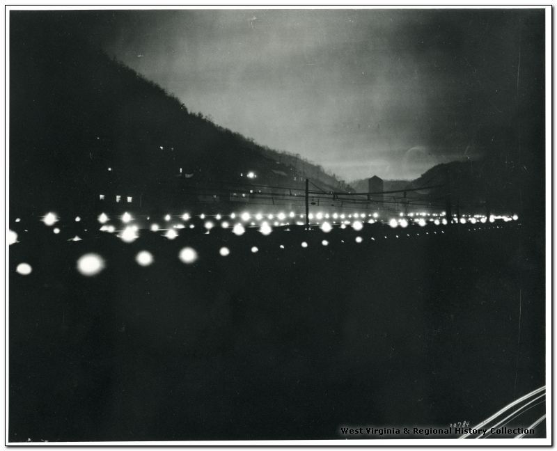
Coke Ovens at Night
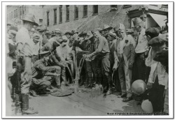
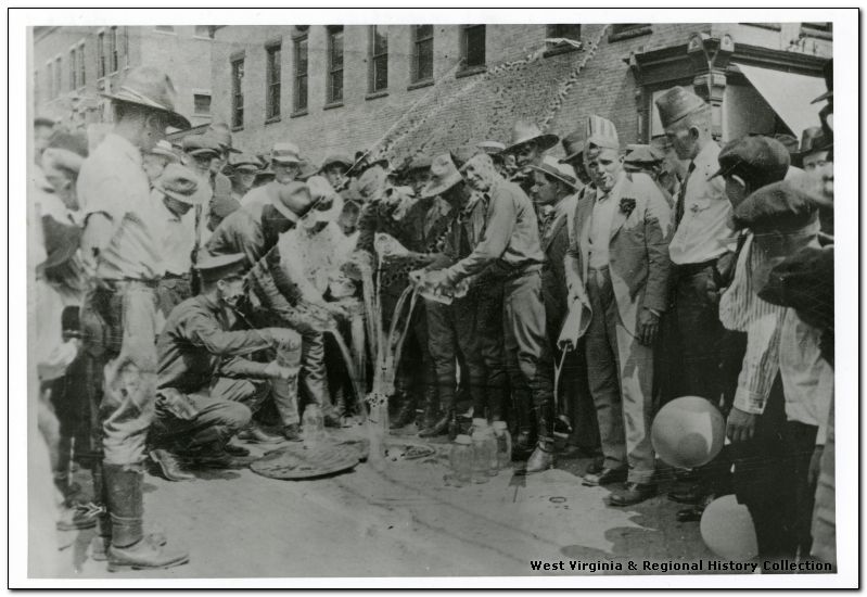
W. Va. State Police Pouring Out Moonshine at Williamson
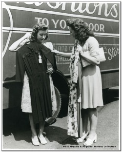
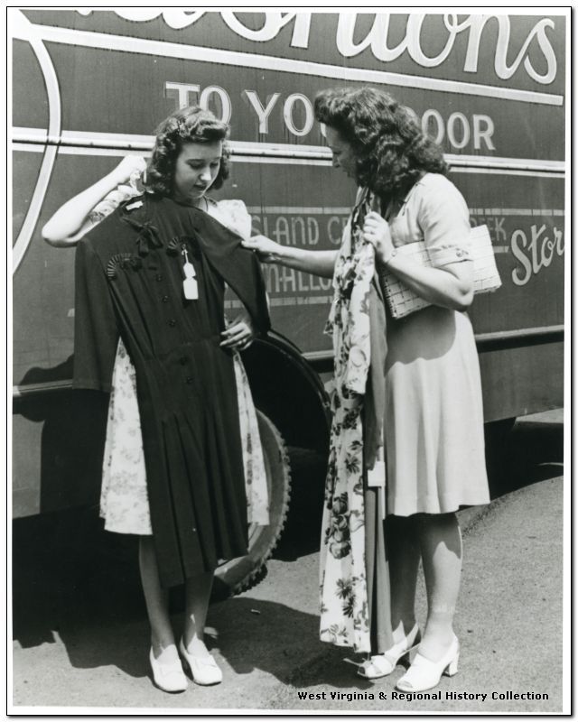
Hamilton Wright Organization, Inc.; Women Look at Dresses
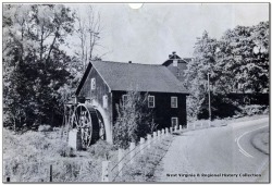
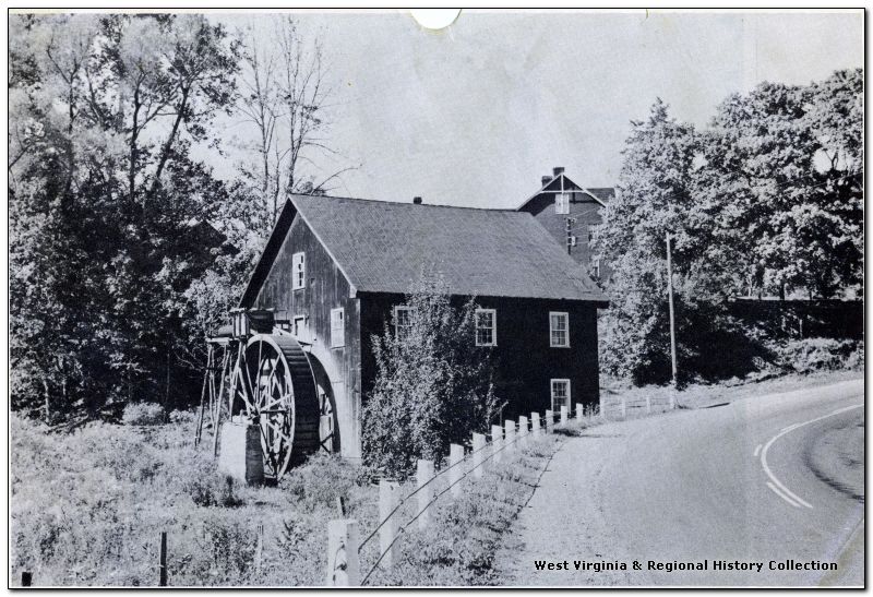
Gristmill at Mill Point
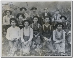
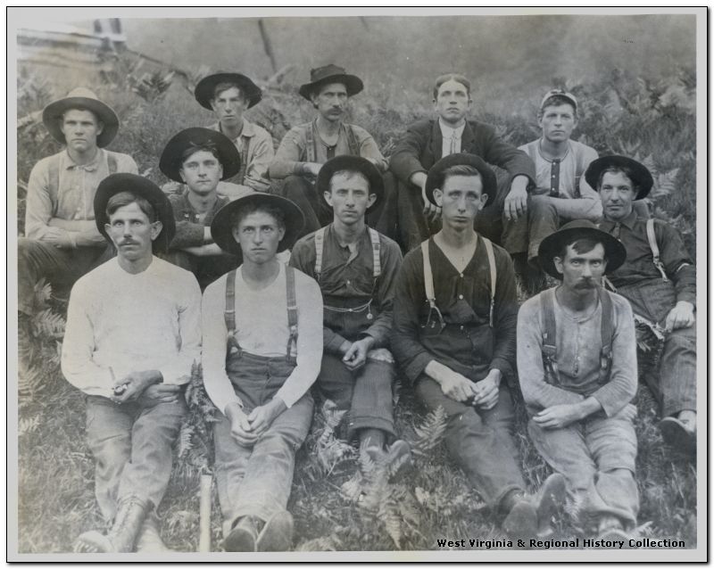
Yokum, Festy; Logging Crew
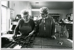
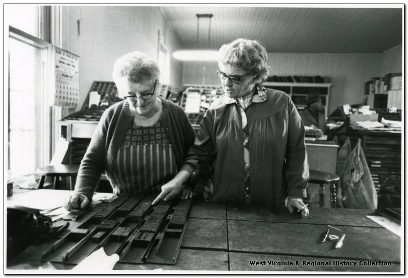
Preparing Hand Set Type for the Pocahontas Times, Marlinton
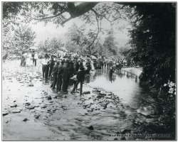
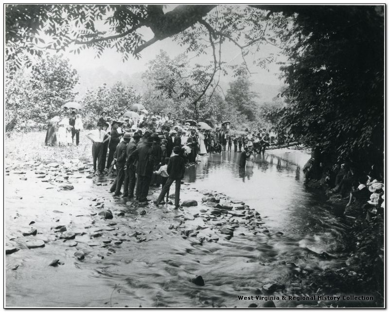
River Baptism
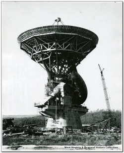
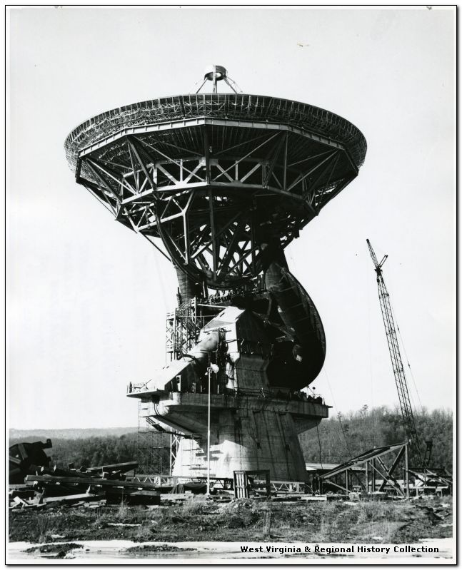
140 Foot Telescope, Green Bank
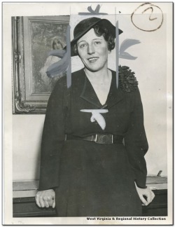
International News Photo; Pearl Buck Awarded Nobel Prize
Diana L. and I (this is Dwight writing this) spent the weekend in Pocahontas County, scouting Pocfest locations.
I drove from Baltimore, but with a stop in Culpeper, Virginia, so took the GPS-approved route of taking I-81 down to I-64, then west into West Virginia, then north on Highway 219. There are several ways getting to Pocahontas County from the north and east, and each one is gorgeous. I've grown fond of this route mostly largely because this is the way I came on my first trip to (I've been four times now), and I love the vistas and the farmland heading north at dusk. If anything it's almost too beautiful. I've posted a few pictures so you'll get the idea of what it looks like in Pocahontas County.
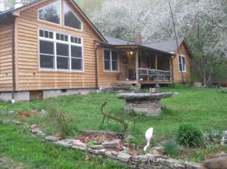
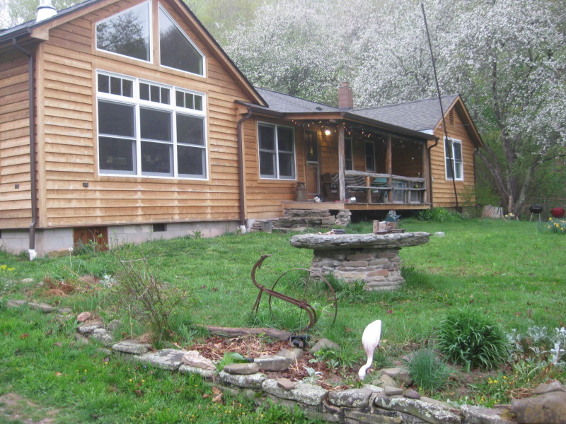
We stayed at Blue Lick Run, home of Pocfest hostess Brynn K., and the main site for 4th of July activities. Brynn has a charming house at the edge of the National Forest.


 RSS Feed